Nestled along the beautiful coastline of Southern California, the bike trail from Dana Point’s Doheny Beach to San Clemente offers a unique and experience for cyclists of all levels.
Starting the Journey: Dana Point
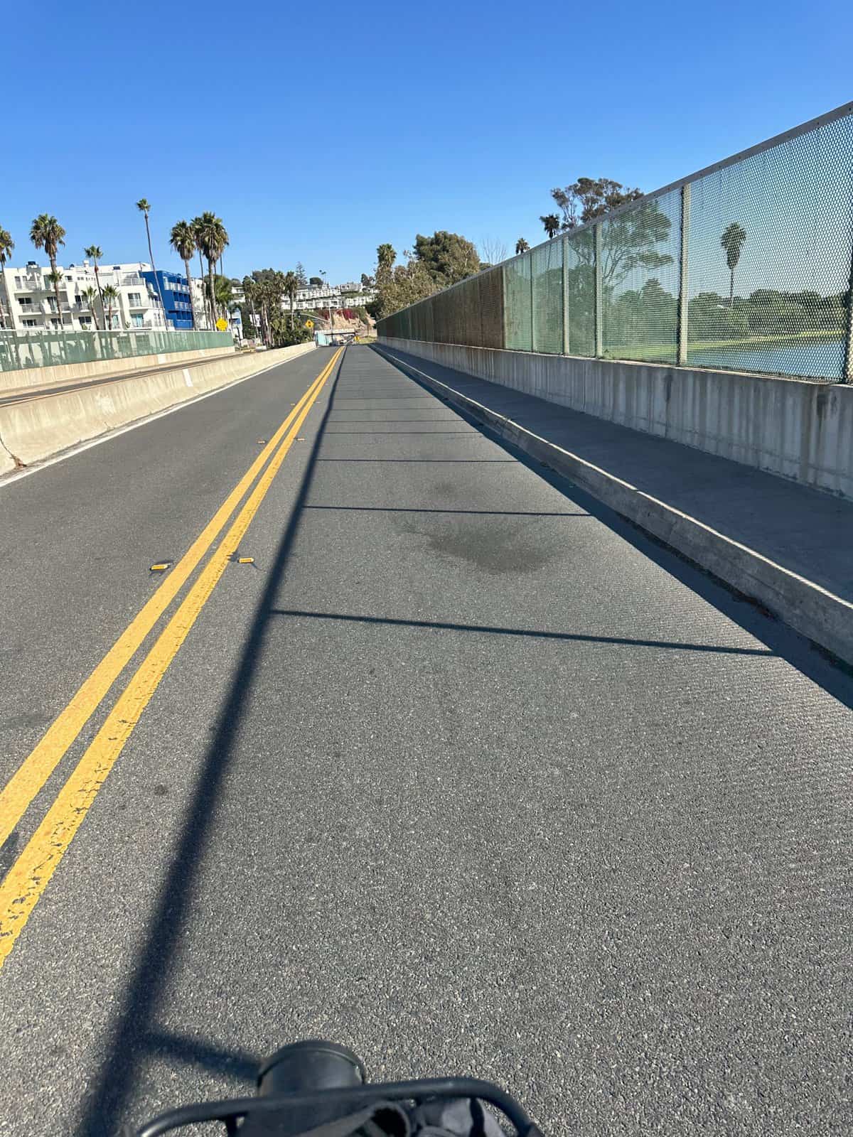
Your adventure begins at Doheny State Beach in Dana Point. Here, a 1.5-mile protected bike path awaits, running alongside the Pacific Coast Highway (PCH). This stretch, particularly favored for its safety features like K-rails, is a hub of activity during the day. Cyclists share the space with a diverse crowd – from skaters and runners to leisurely walkers.


The path offers a gentle grade and the wind is usually at your back. However, be mindful of fast riders in the area and use a bell or your voice to signal when passing.
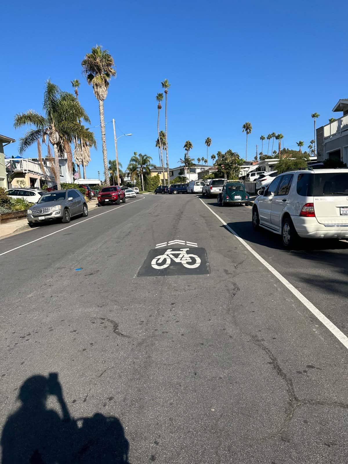
Heading South: Towards San Clemente
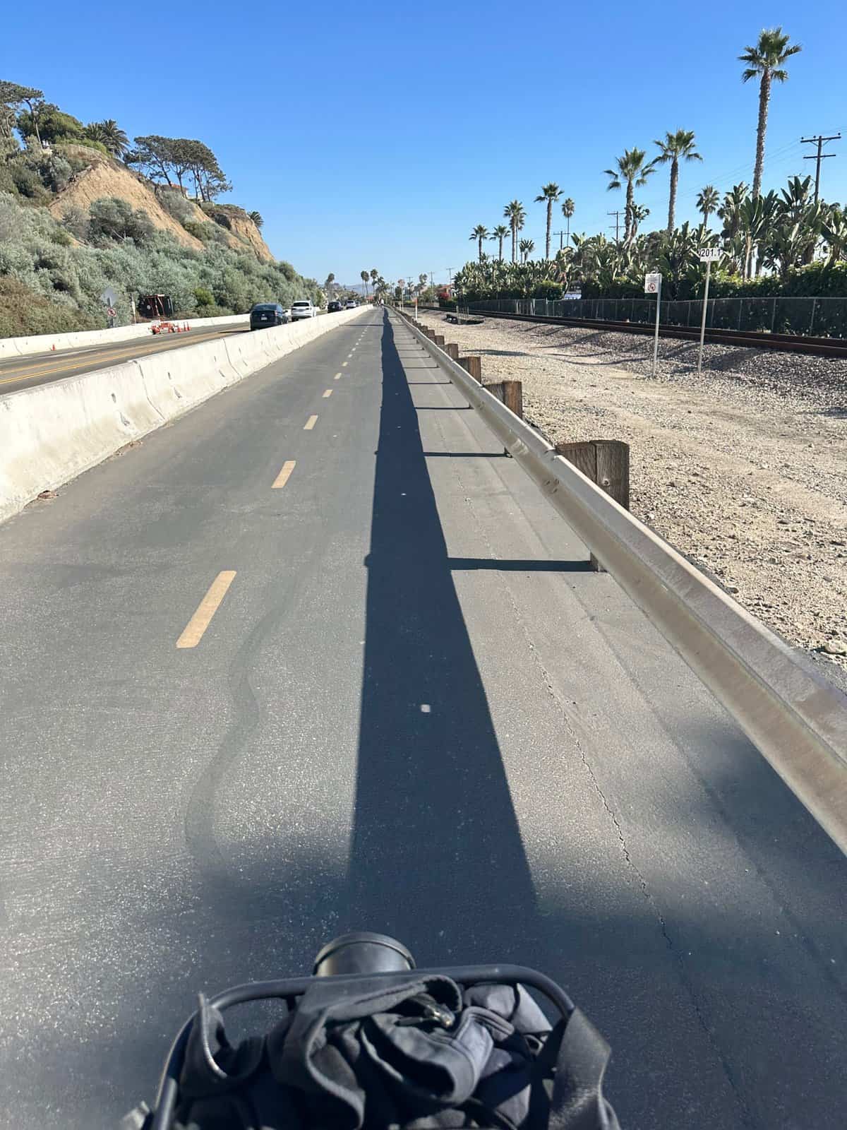

As you head south towards San Clemente, the trail transitions from Dana Point. You can enter the protected path either from PCH or near the Doheny State Beach campground. This segment has scenic views that’s hard to find in urban settings.

San Clemente Beach Trail
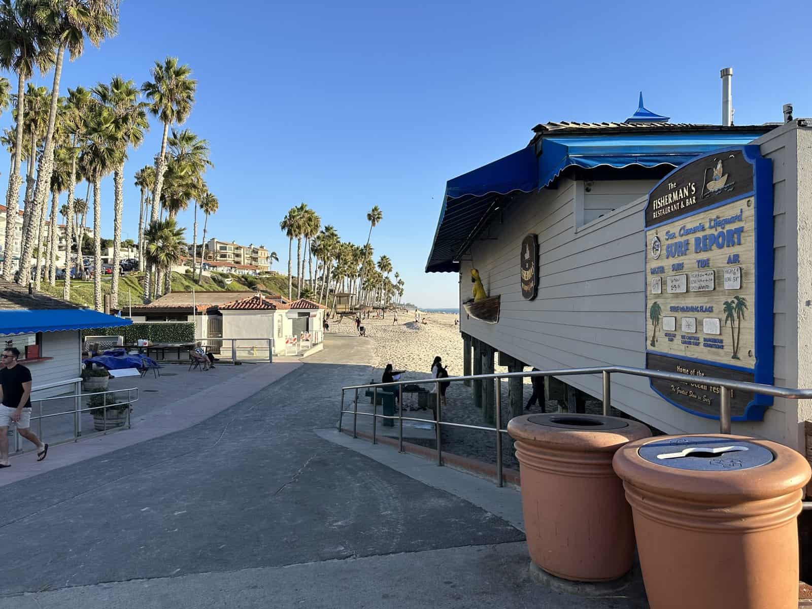
Upon reaching San Clemente, the trail transforms into the San Clemente Beach Trail, a beautiful path that runs from the Metrolink parking area down to Calafia Park.
This 2.6-mile trail stays close to the coastline, offering stunning ocean views and easy access to the beach and various amenities like food and restrooms.
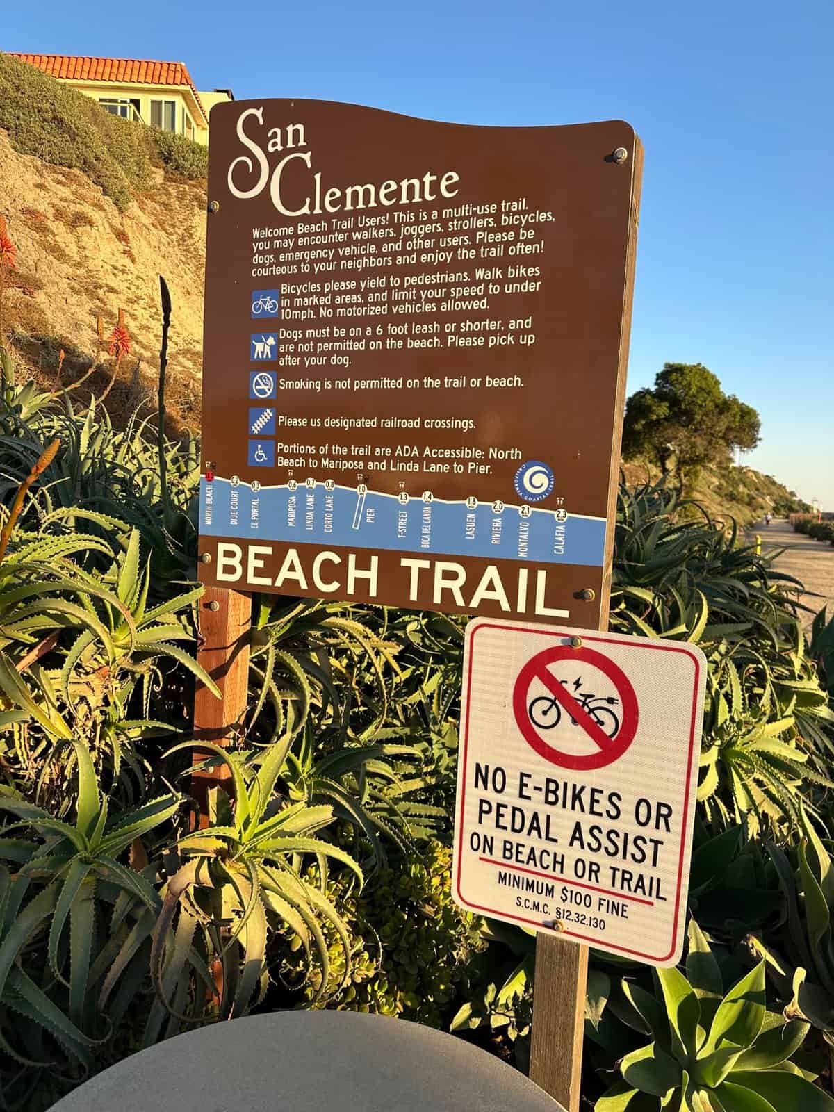
Note: as of February 2024, the trail is closed indefinitely from El Portal access point to the Mariposa access point due to slope movement that affects the Mariposa bridge.
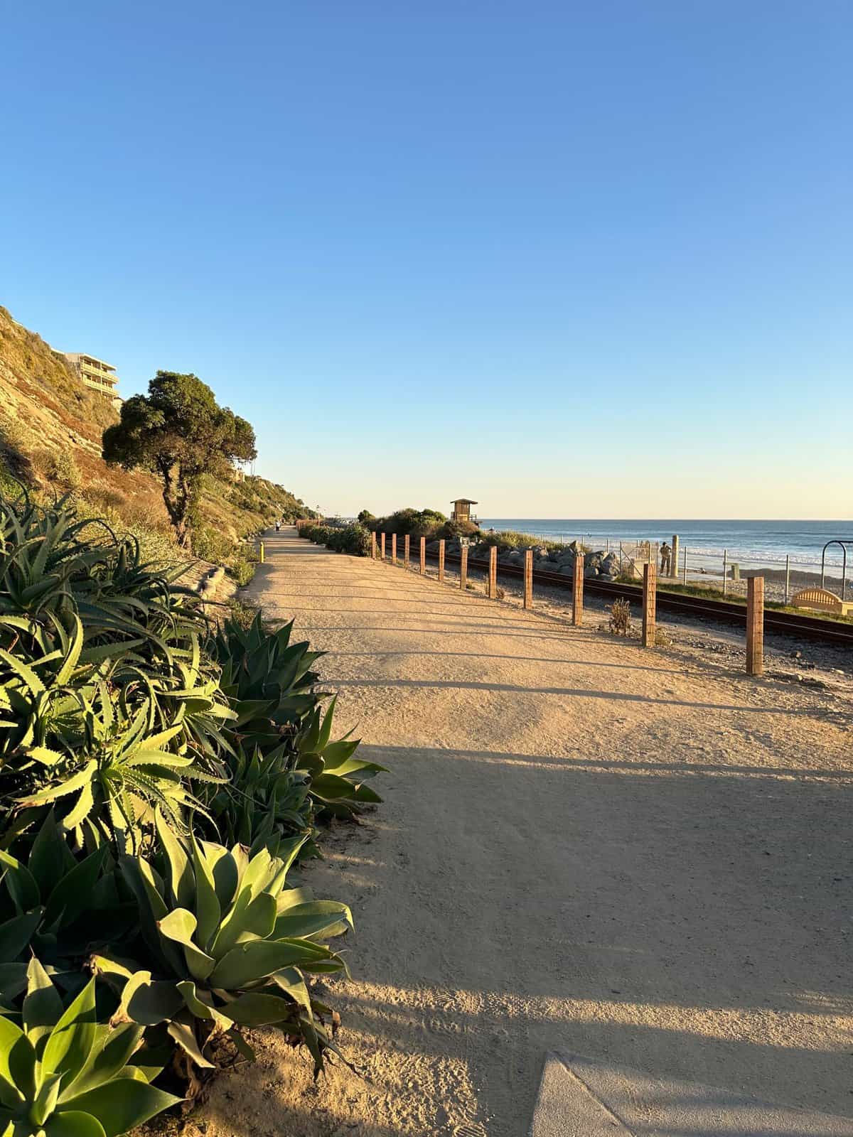
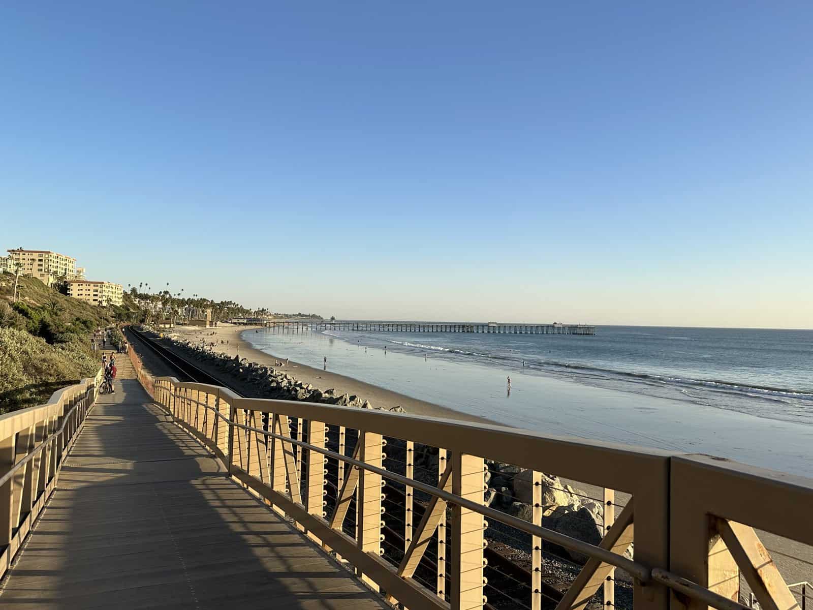
The trail remains relatively flat, ideal for cyclists of all skill levels. The first three-quarters of a mile provide a wide path, but it narrows as you approach areas like the San Clemente Pier. In some sections, like the elevated bridge and near the pier, biking is restricted, and you must walk your bike to avoid fines.

Past the pier, the trail offers more delightful sights, including the bridge by T Street, known for boogie boarding. The trail’s final portion features a dirt path adorned with wildflowers in spring and a beautiful set of cliffs.
E-bikes are not allowed on the San Clemente Beach trail.
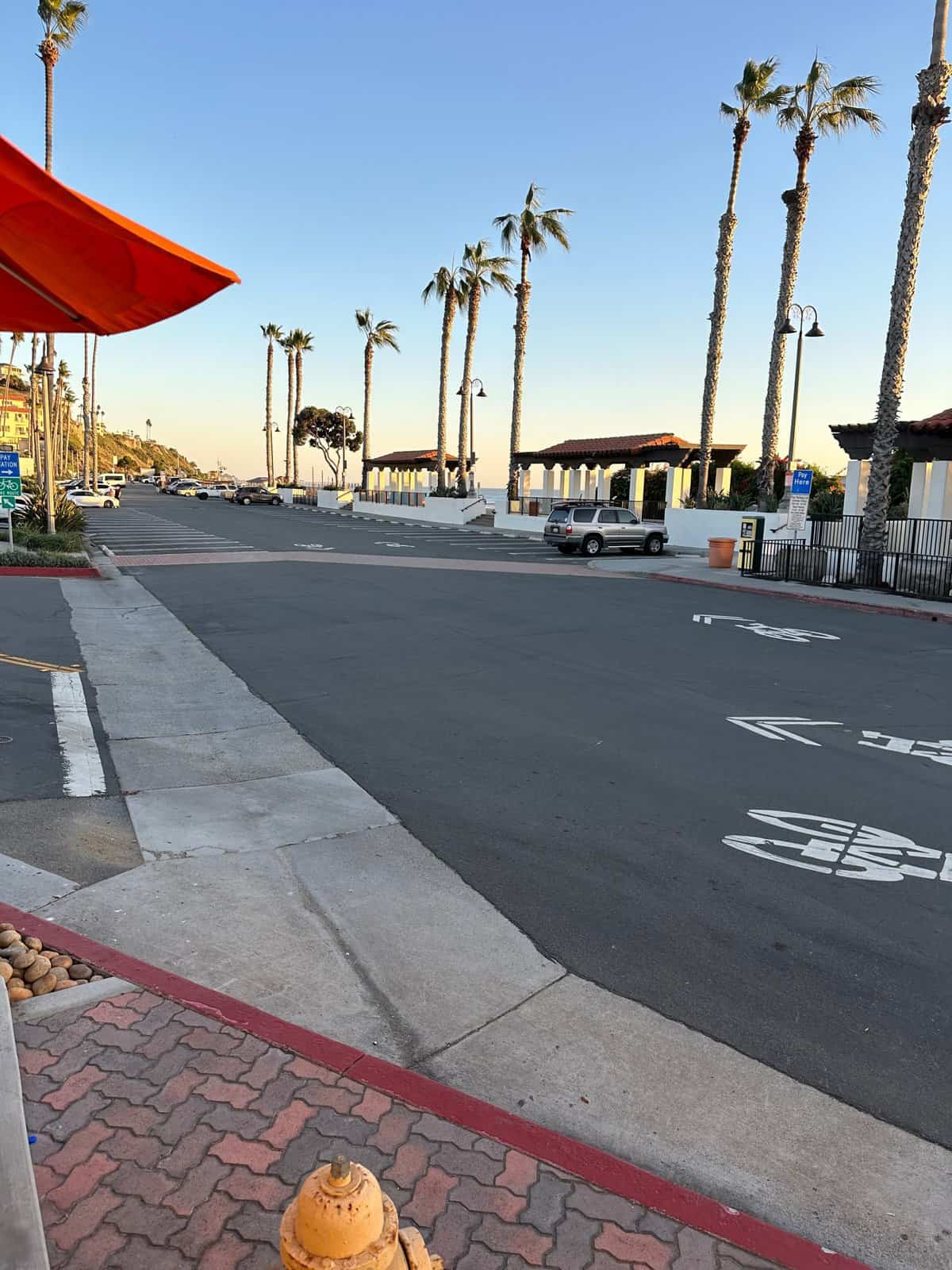
The Journey’s End: Calafia Park
Your ride concludes at Calafia Park, marked by the end of the San Clemente Beach Trail sign. Here, you can rest and enjoy the accomplishment of completing this scenic journey. The park also marks the halfway point if you plan to return to Dana Point.
Tips for the Trail
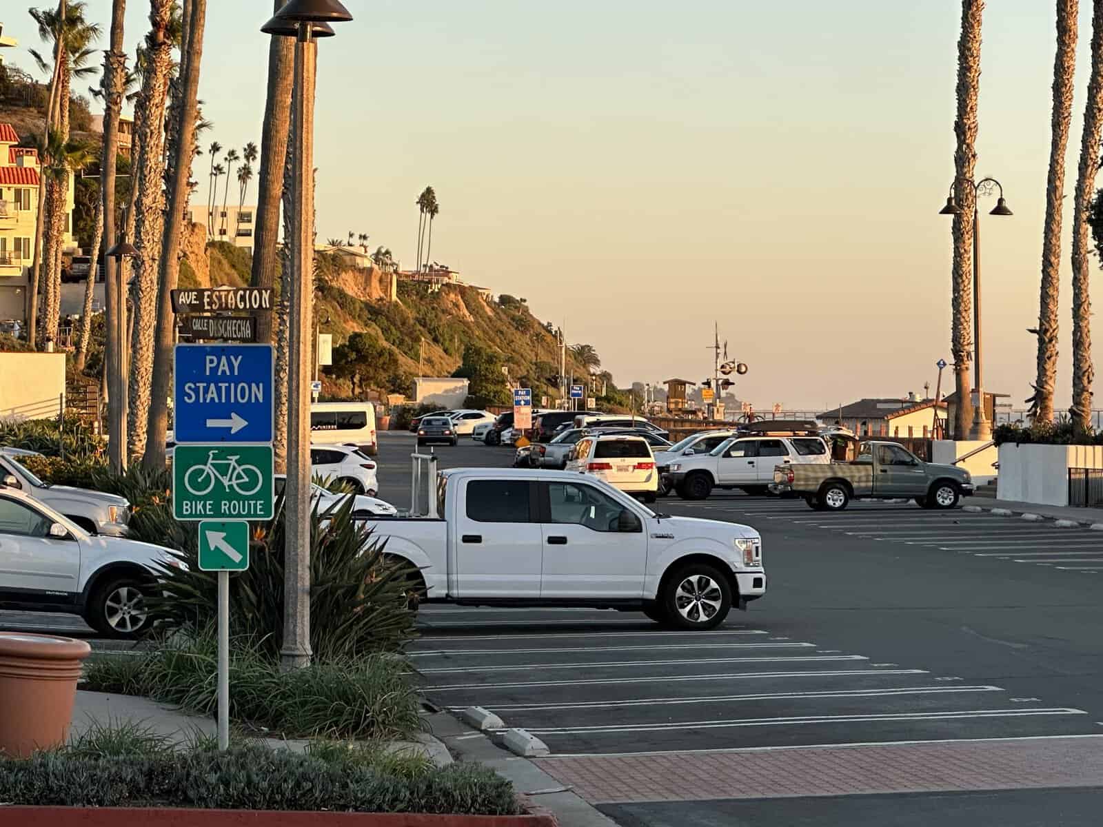
- Parking: Parking fees vary along the trail, with some locations offering more affordable rates.
- Safety: Always be mindful of other trail users, especially in crowded areas and during peak hours.
- Seasonal Considerations: In summer, the trail can be hot and sun-exposed, so bring plenty of water. In cooler months, it’s a refreshing route with less crowd.
The bike trail from Dana Point to San Clemente can be extended to Trestles Beach, known for its popular surfing spot. Trestles Beach is located south of San Clemente city, near the tip of San Mateo Point.
To reach Trestles Beach, you have several options:
- Park at San Onofre State Beach and walk or bike to Trestles Beach, passing Church, another notable surf spot.
- Park near Cristianitos Road and take the trail down to the beach. There’s a public parking lot near Carl’s Jr. and additional parking on parts of the street.
- Drop off at the trailhead off of Basilone Road freeway exit. Since there’s no parking area along the road, it may require a team effort and a bike.
The Pacific Coast Bike Route, which passes through San Onofre State Beach, provides a four-mile ride along the park and an additional three miles between the end of the park and the Las Pulgas Gate at Camp Pendleton. This route is north of San Onofre State Beach and passes near Trestles before continuing into San Clemente.

I would love to bike from Dana point to oceanside but never knew the route.